top of page
LiDAR Cruising
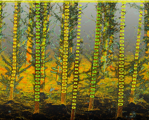
After years of development, our team has created solutions that enable accurate measurement of timber volumes, streamlining your forestry operations and maximizing yield potential. Whether you're managing small stands or expansive forests, our LiDAR-powered services offer unparalleled accuracy, saving you time and resources.
bottom of page